

The next day was forecast sunny and we were not about to miss this hike.

Avalanche Lake was
acclaimed as one of the best hiking trails for an easier hike and its Pseudo
Rainforest make-up was unique to the area. We had decided to experience with a
guide at 9am.
Our guide’s name was Teagan. Teagan was a Geologist studying
climate change. She loved rocks and wanted everyone and their mother to love
them to. Well, my mother and I loved them. And her. She was awesome.
“Everyone loves detective shows cause the detectives are
always sexy. So I decided to be a Geologist! We’re detectives!” Before we got
into the depths of the trail, she had us doing our own investigations to prompt
her introduction to the trees around us “What do you think this tree is?” she
pointed to a large reddish trunk. “Cedar!”
 |
| There is an exceptionally consistent correlation in Park Ranger to Awesome ratio. |
“And why do you think it is a cedar!”
“We’re on trail of the Cedars!” said the same trailgoer.
Teagan begged us to upgrade our detective skills. Segmented
leaves, aromatic, striated bark were all good cues.
And then we walked to something I would have passed right
by. A rock. One I could have considered a lawn ornament.
 |
| Stro-mat-oh-lite! |
“I love this rock!” Teagan said. “I love this rock because
its telling us a lot. You see, Geology is all about looking at the present to
discover the past.” This rock was an eroding Stromatolite (a layered form) and
by knowing that, scientists knew that this area used to have similar conditions
to the Bahamas. Why? Because they have fully formed Stramatolites there. “This
is some of the first life on earth! It photosynthesizes! It breaths! It
prepared us for the life boom!”
The entire hike exposed us to explanations behind features
that we never would have paid attention to.
At the end, she taught us a
little song to keep track of the key pointers, sung to “Row Row Row your Boat”:
 |
|
This Tree was hit
by lightning back in…2000? Anyhow, it wasn’t until two weeks later that a huge
fire broke out from finally igniting through the shallow root system. While
National Parks work to preserve the natural process of things, this fire was
controlled to some extent because it is the last forest of its kind in the area
and it was easily controllable.
|
 |
|
ripple rocks tell her how water flowed. Other rocks
bore striations that could tell her how the ice moved and whether it was likely
the rock had always been there or had been dropped as an erratic or if it was
old or new depending on if it were on or beneath a tree.
|
 | ||||
|
Teagan had us
guess what might have cause this massive topple. In addition to the trees in
this valley, we were standing among a large patch that had snapped and fallen
across the path towards the upward hill. It turns out, Avalanche Basin is named
such for a reason. Since it was the middle of winter, no one witnessed the
event but it is believed that the avalanche only hit trees directly in the
valley and the ones we were standing among snapped from the sheer volume of
wind it produced.
 
The Trail used to
weave through this area and after years of having to make frequent shut downs
due to flooding, they finally shifted the trail over.
Avalanche Trail is also a “Bear Frequenting area” and we did see some fresh scat so Teagan made yelping noises and “HEY-O”s all the way up.
|


*Silt Tilt Slide and
Glide, that’s how glaciers form
Rocks Bacteria
Mountains and Glaciers
Basins Certs and
Horns
*sediment builds up from moving tides, rocks tilt the landscape 150
million years ago, Pressure creates tension and snaps the rock 70 million years
ago and finally 2 million years ago, Glaciers glide through valleys in a U
shape, forming single, double and triple Basins, Certs or Materhorns


And then we got to see what we had been singing about.
Entering the basin with a new understanding of how it came to be, I felt like I
was seeing the lost city of Atlanta or something. Even though geology happens
everywhere. I guess Teagan did her job.


When we got to the lake, we couldn’t stay long because we
had an engagement…that morning as we drove in, our eyes caught sight of the
Helicopter tour sign. I called to find out a bit more and when mother learned
that she would get her Glacier fix in, she decided it would be worth it
regardless of price. It was just too strange to be in Glacier without seeing a
glacier, especially with all this talk about their rapid disappearance.
It was so worth it.
Some general sights:
 |
Our Copter
|


Some general sights:
 |
| This is Lone Man mountain. One Lone Man (I didn't ask if women get the job also...) sits up here year round since this area is so prone to fires. |
 |
| Exhibit A: Lincoln Creek fire of 2003 |
 |
| Isn't this water amazing? The color is caused by old glacial sediments that did crazy stuff when they froze |

 |
| Crossing the Continental Divide which goes through almost the mid section of the park |
 |
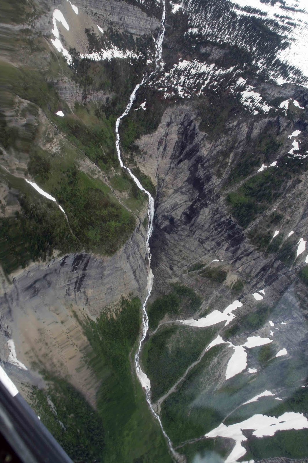
| Recognize this from earlier? |
 |
| How about now? Avalanche Basin! |
 |
| Gunshot Lake |
 |
| Hidden Falls. He kept clarifying distances to put things in perspective. This "tiny" looking thing drops 2,000 feet |
 | ||||||||
Hidden Lake. Still appropriately hidden under ice!
|


Now...dundundun...GLACIERS!
There are three things that define a glacier.
1: it moves
2: there is compacted ice. A lot of snow is a lot of snow. NOT a glacier
3: it is at least 25 Acres
1: it moves
2: there is compacted ice. A lot of snow is a lot of snow. NOT a glacier
3: it is at least 25 Acres
 |
| Jackson Glacier |
 |
| Sperry Glacier |
 |
| Blackfoot Glacier |
 |
| Harrison Glacier And what he considered the Grand Finale, the most picturesque moment: |
 |
| Lake McDonald. I donno. I don't think you can have a contest here. It was all amazing. |


I want to be
Big Mountain
Perching my breath
on wooden pinnacles
Compacting bodies
into one another
grinding at each other
sinking
rising
holding and letting go
with perfect wisdom
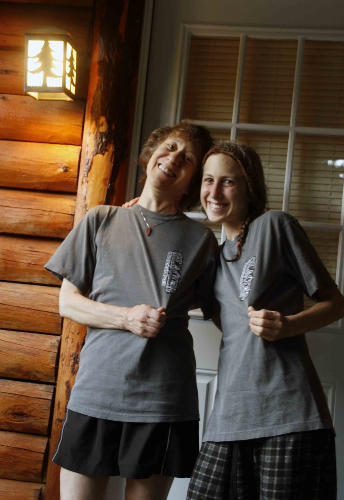

Of course, what would a tourist trip be without matching shirts.
No comments:
Post a Comment